|
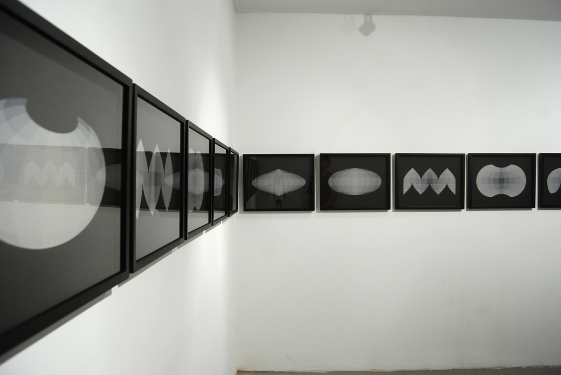
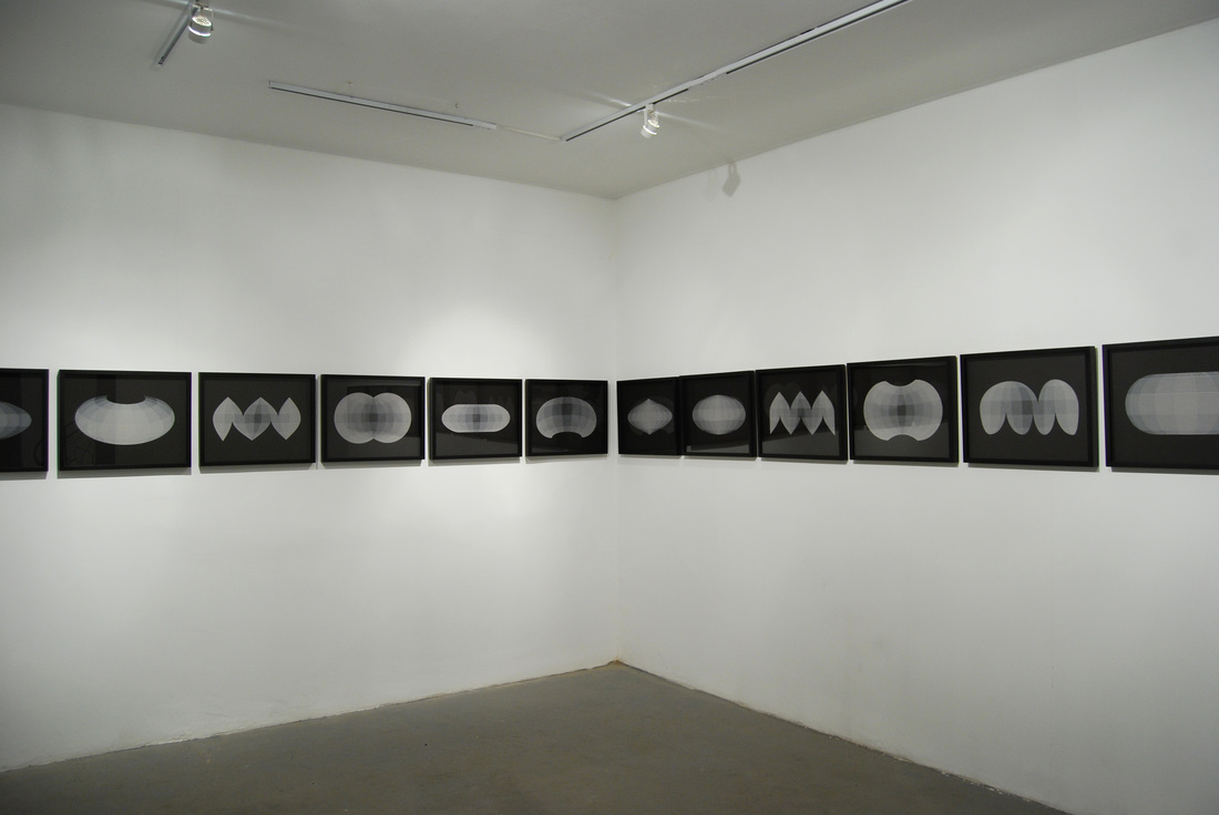
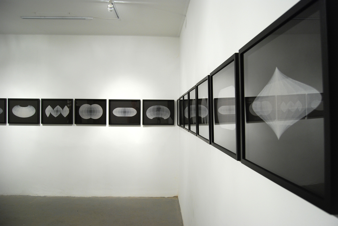
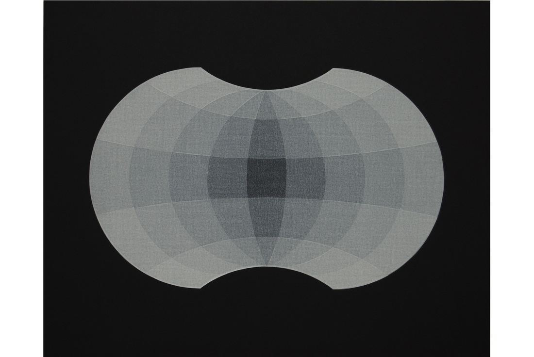
Maps suitable for building, 2015
|
|
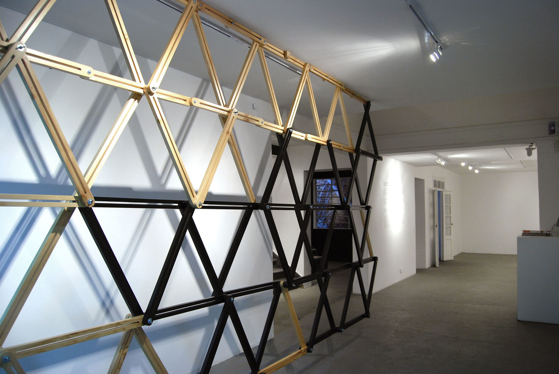
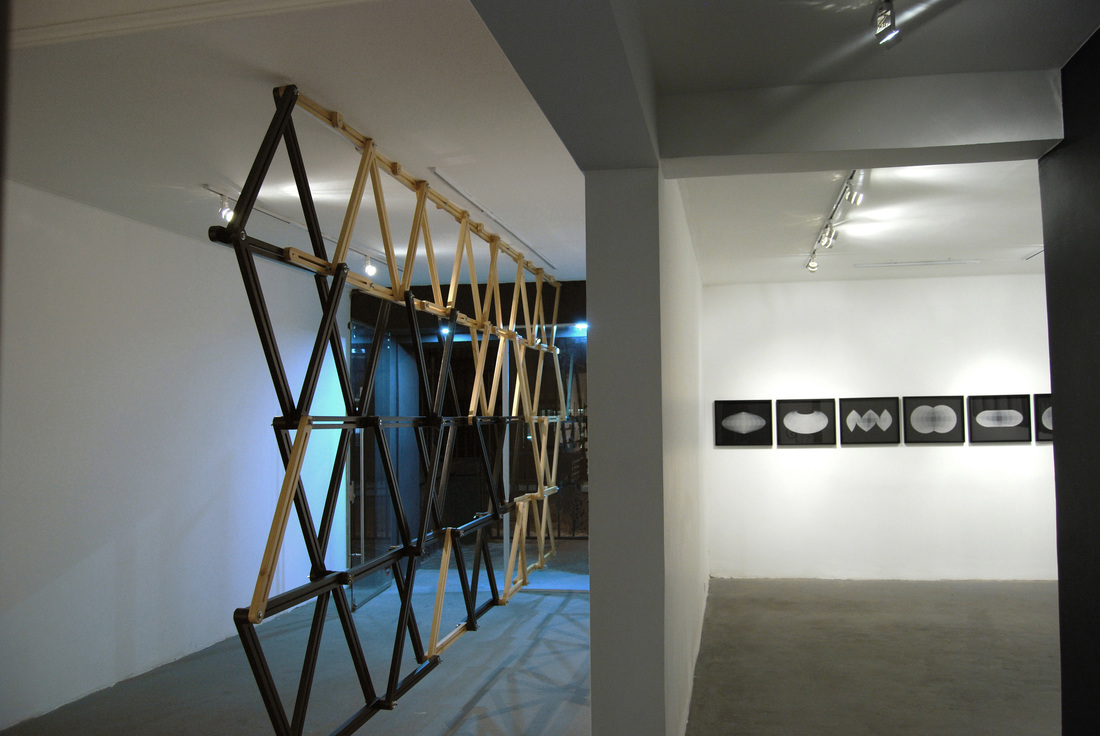
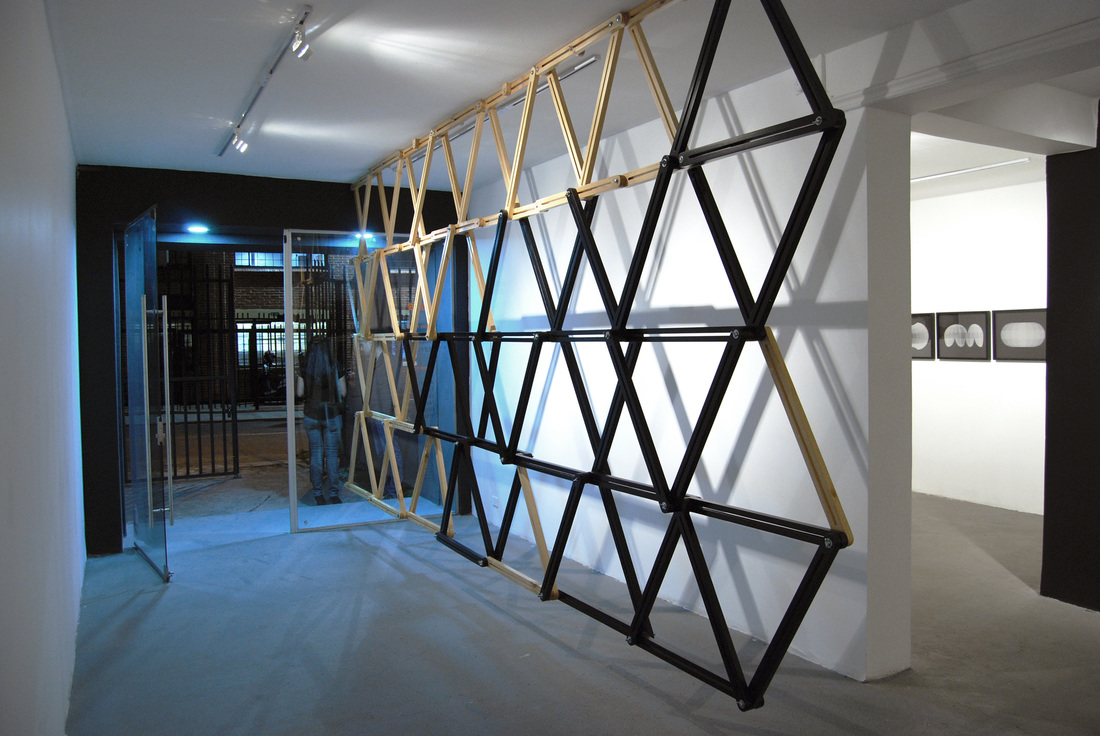
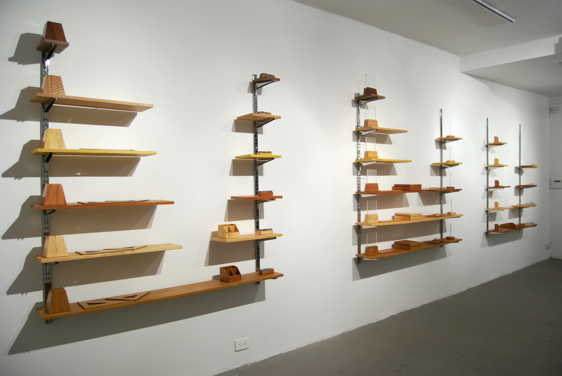
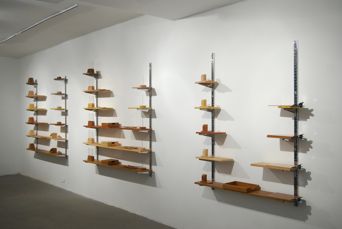
The conceptual and formal closeness between cartography and architecture are explored in this project as these disciplines are preceded by akin codes. It proposes the idea of transferring graphical conventions taken from maps and charts into space by means of turning them into visual and material structures.
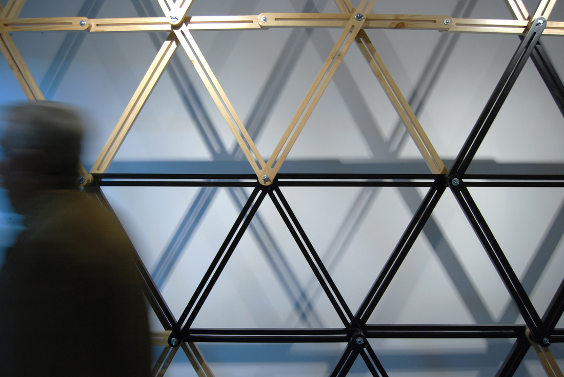
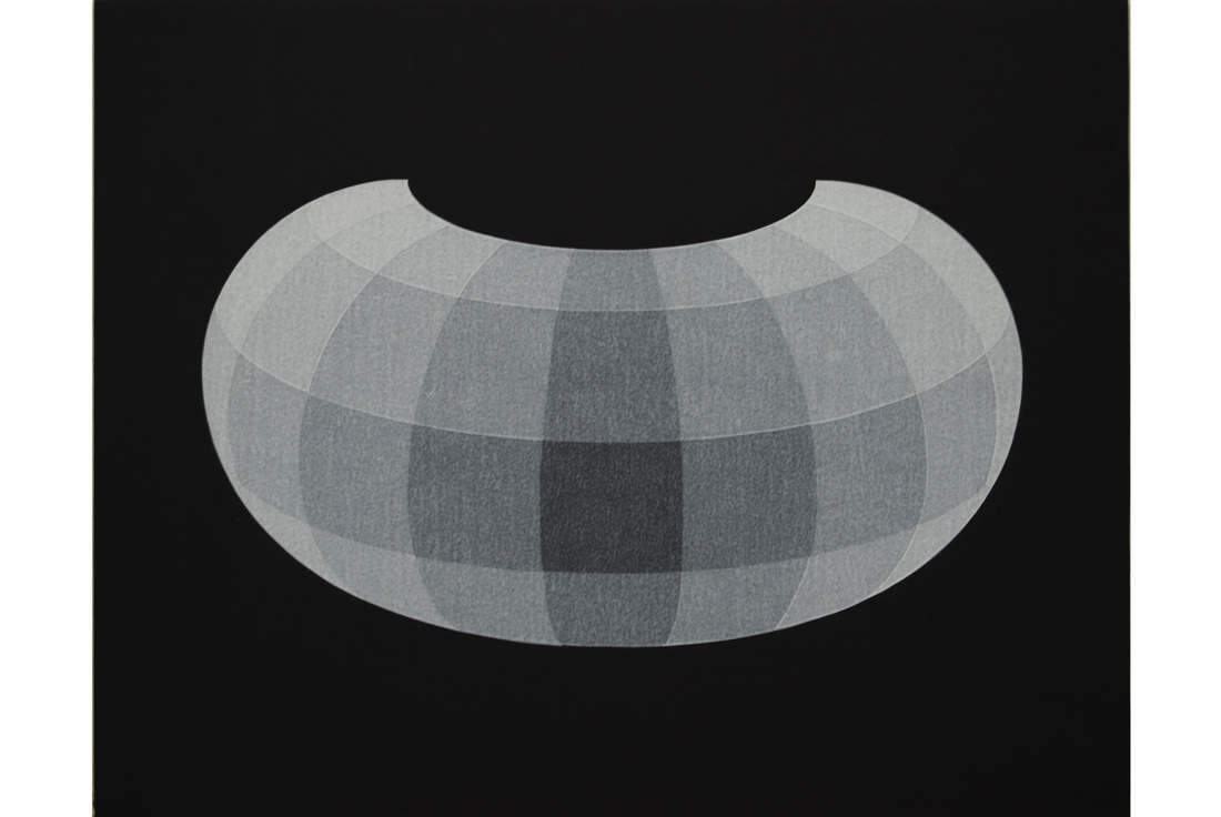
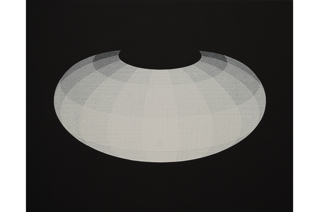
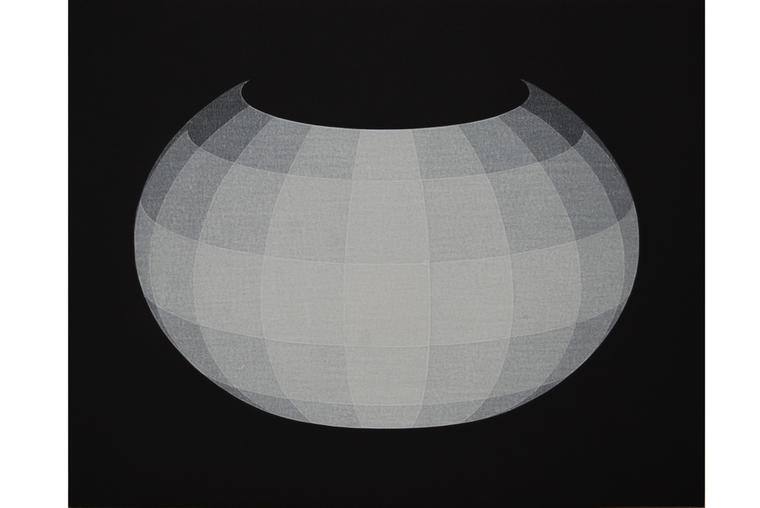
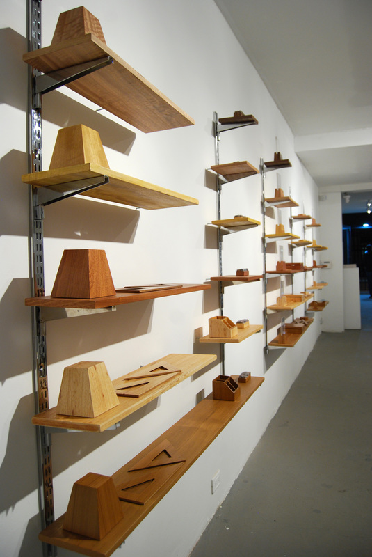
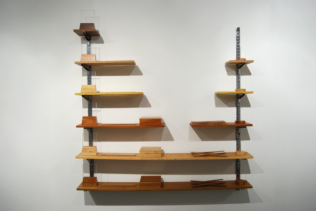
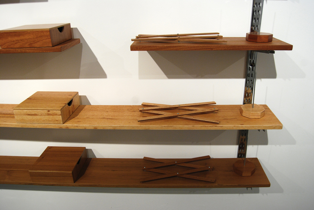
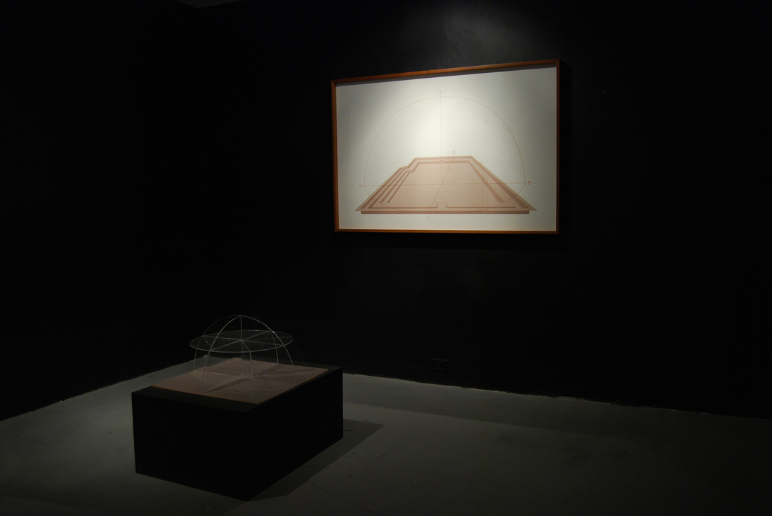
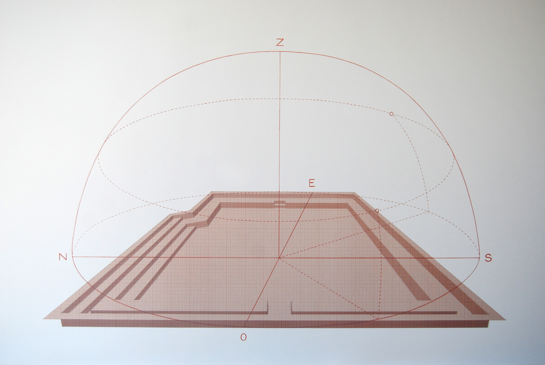
Studio structure (Web), for instance, is a sculpture that explores possibilities of structures developed from graphic systems. The work takes an isometric grid as a point of departure to bring about this linear system into a three dimensional object. The grid is actually built with an array of wooden poles taken from drawing tables which get articulated by screws. The work becomes a system of modulated triangles which allows lots of possible arrangements. Atlas is a series of drawings made of tracing paper affixed in layers onto a black background which represent models of the globe. The models are taken from projections of world maps laid out by different cartographers in different times and with different purposes. These globes however feature no territories, nor oceans, nor data at all; they only show their round shape, each one different, each one distorted to some extent, revealing concepts and ideas regarding to different world views. The drawings of Los Andes mountain system leid out by Francisco José de Caldas, a Colombian scientist of the XIX century known as the Wisdom, who made this study of the plant life of the Nueva Granada territories, are the point of departure for a series of shelves made out of a varied of Colombian woods that hold objects also made out of the same material, (leveling). Another piece is a drawing featuring a projection of a yard taken from one of the last buildings designed by architect Rogelio Salmona, a prominent figure in modern architecture in Colombia. On the perspective made of graph tracing paper there is a second drawing of a meridian, an ancient technic for geo-localization based on the use of the heavenly bodies, (Chart-yard). |
                  |
